
The Leadville Hostel where I am staying. It is also where I started the hike. It is about 1/4 mile from the marathon start and finish. Elevation is 10,200 ft.

Looking west on 6th St. about 1/2 mile from the marathon finish (or looking back 1/2 mile from the start).

About 1/2 mile where 5th St. becomes CR 1.

Mining equipment about 1 mile from the finish. The dirt piles are tailings, what's left over after extracting a few pounds of metal from each ton of rocks.
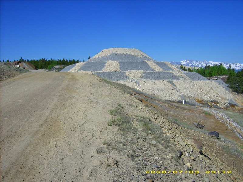
More tailings.
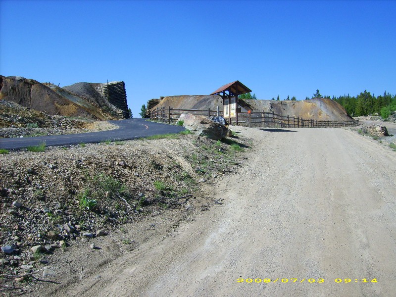
At 1 mile the road briefly parallels the Mineral Belt, a 13 mile paved bike path around Leadville.

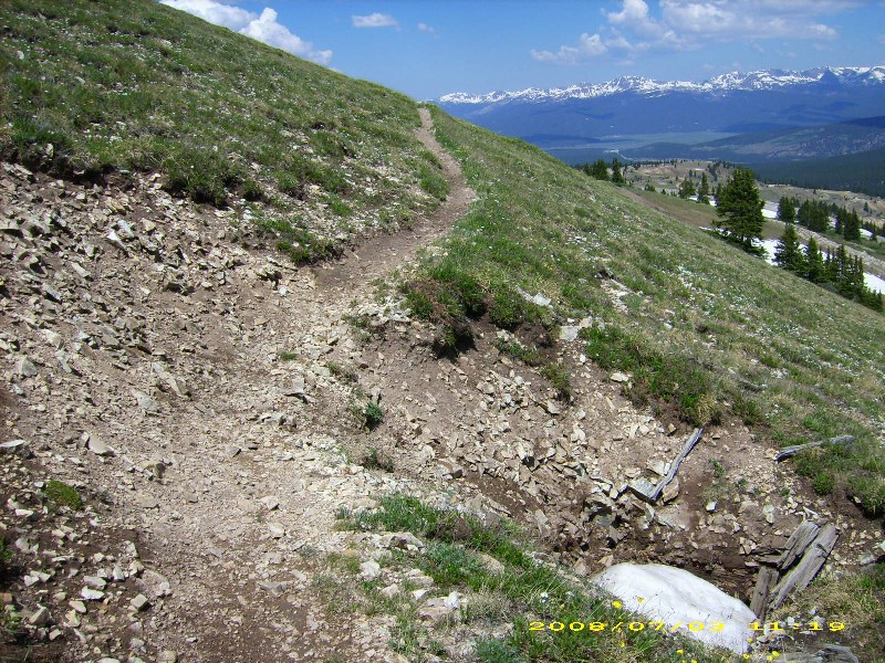
The next 3 miles up to the Ball Mt. loop are steep and rocky.

The road descends briefly around mile 2 before climbing again. The route climbs near the powerline cut on the next ridge, crossing it from left to right and climbing almost parallel to it.

Crossing the powerline cut.

The footing is less than ideal.

Looking back at Leadville just before the aid station at mile 4 (or forward from mile 22).

The aid station will be next to these mining ruins on this tailings pile. The tailings appear to have flecks of metal in them, I guess pyrite. You pass this point 4 times, at the beginning and end of the first loop around Ball Mt. (miles 4 and 7), then again at the beginning and end of the loop after returning from Mosquito Pass (miles 19 and 22). Ahead is Ball Mt. (looking east). On the horizon from left to right are Gemini Peak, Mt. Sherman, and Mt. Sheridan. Mosquito Pass is to the left of this picture.

Mining ruins at the aid station.

I left the marathon course to climb Ball Mt. by taking a road that climbed closer to the summit (looking back here). These trees were cut down decades ago, but since this is near treeline (12,000 ft), it will be centuries before the forest grows back here.

Approaching the grassy slopes on the south side of Ball Mt. I later left the road and climbed straight up.

Climbing Ball Mt., looking to my right toward Sherman and Sheridan.

The top of Ball Mt. is broad and flat. This view is to the northeast toward Mosquito Pass.

I descended to the east and around the left side of this large band of snow. View is looking southwest.

The marathon route enters from the trees at right, follows the meandering double track and up the snow. (Then later, you go the other way). My descent route rejoined the marathon route just above the snow.
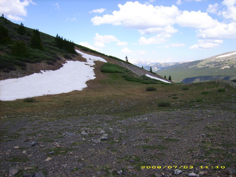
The route becomes a trail which climbs just below this snowfield at about 12,000 ft. There was a bit of snow over the trail but I think it will melt by Saturday.
Watch your step! Don't fall into the mineshaft.

Looking down the mineshaft.

The climb to Mosquito Pass is along the road entering from the left, and up to the pass between the 3rd and 4th humps.

Returning to the aid station.

After leaving the aid, the marathon descends to the mining area below at 11,200 ft on dirt roads, then starts climbing to Mosquito Pass.

I returned past these mining ruins. The road descends left to right.

Acid draining from the mines at mile 1 or 25. The water is extremely acidic (pH between 2 and 3). The red color is due to iron oxides.

A little less than a mile from the finish. The red water has stained these rocks orange.

About 1/2 mile to go, the course goes 1 block right to 6th St. My hike took about 4 hours, but I wasn't running the downhills.